
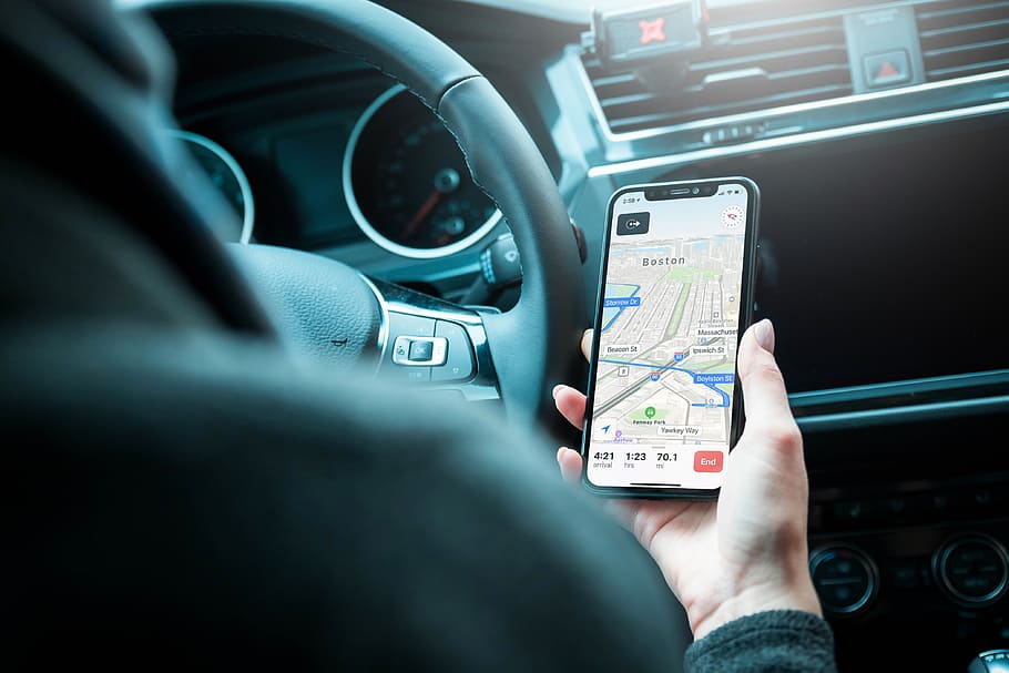
In the modern world of digital technologies, our travels have reached a new quality level. Today, your smartphone makes it easy to book a luxury car rental Atlanta Airport, find a cheap hotel room in Miami, and also easily navigate through the area. You just need to have the correct applications installed.
However, standard programs such as Google Maps can also greatly help you on your journey. Even before Google Maps officially released the feature with saving map sections for offline use, it was possible to scale the map in detail along the desired route via Wi-Fi. The data was stored in a cache and was available offline.
But this is just one of the many useful features of Google Maps. Check out all the available functions that you can take advantage of on your upcoming journey:
Offline maps
Use it: for offline navigation
Imagine a situation: you rent a car and go somewhere to Death Valley, where there’s no internet access. You can take advantage of the ‘Offline maps’ option in the Google Maps app. With this feature, you can do without the trickery of zooming in the desired areas and saving them to the cache.
Open the left menu (sandwich button in the search bar), and select ‘Offline maps’. In the tab, you will see all your saved maps and the ‘Other map’ option. Click on it, select the desired area and save it to your phone. Now you will have constant access to navigation wherever you go.
Departure time
Use it: to calculate travel times
Being in an unfamiliar city, you can now quickly calculate the amount of time you need to travel to a certain place. This option is useful if you want to know, for example, when to go to the airport in order to have time to return the rental car and check-in for the flight.
Create a route in Google Maps, choose a car icon. The line ‘Depart at’ will appear under it. Here you can specify the time and see how long it will take you to reach your destination. In ‘Options’ you can change distance units, as well as choose a route to avoid toll roads, highways, or ferry crossings.
When creating a route with a reference to time, Google Maps also takes into account traffic load at that time. This gives you even more flexibility in travel planning.

Public transport departure time
Use it: to plan routes around the city
Sometimes, you can leave your rental car in the parking lot at the hotel and move by public transport, by using the ‘Depart at’ feature in Google Maps too. When creating a route, select the public transport icon. You will see all the available routes and connections for the given departure time.
In “Options” you can specify the preferred type of transport and priorities, such as ‘less walking’, ‘fewer transfers’, etc. Keep in mind that this feature works well in big cities and doesn’t work in destinations where public transport doesn’t care about observing schedules.

Nearby spots
Use it: to search for desired places in the area
Google Maps are good for finding desired places nearby. If you are traveling in a rental car in an unfamiliar area and are urgently looking for a gas station or grocery store, enter, for example, ‘gas station/ grocery store near me’, and all the nearest establishments will be displayed on the map.
Share Directions
Use it: to tell a friend where to find a hotel or any other point
Imagine a situation when you are traveling with friends, and each company moves in a separate rental car. You went to check in to the hotel, while others went to the store. How can you explain to them where this hotel is located? It’s simple – use the ‘Share’ option on Google Maps.
Create a route to the hotel from the desired point, click on the menu in the upper right corner of the screen and click ‘Share’. Then select the application through which to send a link to the map with the route.

Google My Trips
Use it: for short visits and creating unique routes
If you have very little time for your trip, a custom map will help you see as many interesting places as possible. Create a route of places to visit in advance, and then use it on your journey.
If you are a control freak person, you can plan every day of your trip that way. After creating a new trip, you’ll be able to share it with friends and arrange interesting quests.
Indoor Maps
Use it: when trying not to get lost at the airport or mall
This is a relatively new feature of Google Maps, which is not available everywhere yet. At the moment, the Indoor Maps cover about 10 thousand objects around the world.
It’s useful if you need to find, for example, your gate at Los Angeles Airport or exit from a huge multi-story Mall of America. To use it, simply zoom in to the map and click on a building. After that, you can see its plan, and if necessary, switch between floors.

Road Trip Routes
Use it: for comfortable traveling by car
Everyone already knows that Google Maps creates quite convenient and detailed routes for road travelers. In addition, they learned to take into account the current traffic situation. In the top-right menu, you can instruct the system to guide you past toll roads or highways.
You can also add intermediate stops to your city route if you want to diversify it. For this, go to the menu at the top right of the screen, and select the ‘Add Stop’ option.