
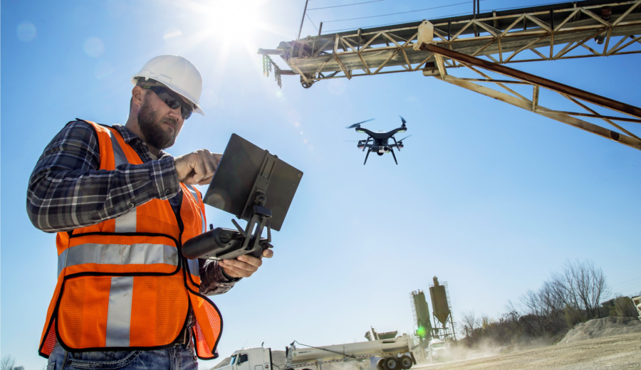
Mapping refers to the graphical representation of information that is based on spatial relationships. It is usually used to show scaled geographical features such as rivers, water, and forests. On the other hand, surveying involves inspecting an object or an area to establish its characteristics, determine its potential as well as define its boundaries. Surveying typically involves observations, reaching, measurement and mapping. Commercial drones offer a practical, convenient and affordable way for mapping and surveying.
Mapping
With the regular changes in climate conditions and structural developments, it is necessary to carry out mapping regularly making it an ongoing process. In the past, the process of mapping involved only field measurements. However, the use of aircrafts and helicopters in the modern times has dramatically improved mapping possibilities.
The aerial photography technology allows getting multispectral images that enable climatic measurements. However, using planes and helicopters is not possible during certain times because of safety regulations, and it also requires training of personnel, which could be expensive. A mapping UAVs is cheaper to operate, easy to program to ensure that they follow a given route and can be immediately deployed. Moreover, drone mapping allows the data to be stored in hard copy, which is accessible to input in geo-mapping software for quick data implementation.
Surveying
In most cases, surveying is conducted to inspect an infrastructure, help in mining activities as well as facilitate urban development. Different methods are employed by surveyors to gather information that includes sensing tools like infrared and sniffer, 3D measurement tools as well as aerial photography. However, the process requires these tools to be used in conjunction with one another as they all serve specific purposes. This helps in building up more accurate survey, but the act of having to combine two or more tools could be costly and time-consuming.
Using commercial drones for aerial mapping and surveying enables you to obtain a detailed data easily and within a short time. Moreover, UAVs allows you to fit them with any tools and accessories that are required to carry out a given task at a particular time. This enables you to customize the drone platform to ensure that you get the best mapping results. Therefore, aerial imagery and mapping provide an ideal replacement for conventional 3D measurement tools and sensing tools. This means that drone surveying is more efficient and versatile as compared to any traditional 3D device in carrying out surveying.
Conclusion
In conclusion, commercial drones are more efficient, convenient and affordable as compared to other methods of mapping and surveying. This is because unmanned aircrafts vehicles (UAVs) can gather high-quality photos and video footage as well as perfect aerial shots of infrastructure and buildings to help in surveying and inspection. Airborne Drones offers UAVs equipped with quality accessories that correctly serve their purpose in mapping. Besides, Airborne Drones provide a complete airborne UAV aerial mapping system to security monitors or surveyors to ease the process. Finally, the recommended solution to Mapping and Surveying Applications include LiDAR and 4k optical zoom sensors. This requires you to buy a license for PIX4D mapping software first as all the other requirements come as a package.